

The International Energy Agency (IEA) estimates that about 200 billion cubic metres (bcm) of natural gas is lost annually through leaks, venting and flaring — enough to cover roughly two‑thirds of the EU’s annual gas consumption.
Founded in 2022, AIRMO is a space-tech company building a methane-emissions monitoring platform for the energy industry. It combines measurements from drones, aircraft, and satellites to detect methane leaks, quantify emissions, identify sources, and turn that information into actionable data companies can use to address leaks and meet regulatory requirements.
Daria Stepanova, CEO and co-founder of AIRMO, is a space engineer with expertise in satellite development, launch operations, and commercialisation. She leads AIRMO’s commercial strategy, fundraising, and international expansion. Her first exposure to space came through a student team while at university.
She told me, “I found the idea that, within a year, you could go from nothing with a student team to actually building working satellite systems that could go into space so cool.”
The experience inspired her to pursue a career as a space engineer. She went on to co-found several startups and previously served as CTO of German Orbital Systems.
Today, AIRMO has a team of 34 drawn from space tech, oil and gas, and other sectors.
“Our CTO has been involved in launching around 50 satellites, and we have people with decades of experience building space optics.
But many people on the team have only recently entered the space industry. They bring their expertise from elsewhere.”
Detecting methane from space
AIRMO is developing two instruments for atmospheric monitoring, including microlidar tech. Stepanova explained:
“We've built an instrument that's pretty compact but still very powerful. It measures atmospheric conditions and provides information about aerosols and dust particles."
The second instrument to be sent to space is a short-wave infrared spectrometer. There's less novelty, but it's still state-of-the-art in terms of size, compactness, and signal performance.
Combining these two sensors gives the company unique data around methane emissions. It can detect and precisely quantify emissions better than existing commercial systems, "and deliver that at a much lower cost because we use a small-satellite approach."
"We deploy small satellites, so this combination of accuracy, reliability, and cost-effectiveness is what we see the market wanting.
Our customers want to see as much data as possible and have continuous monitoring of their assets, but not with crazy overheads.”
The largest methane emissions tend to occur upstream, where oil and gas are extracted and processed. Some of these high-volume leaks are already large enough to detect from space. Further along the supply chain, however, smaller leaks can occur around pipelines and storage infrastructure and may require more granular monitoring.
“You need to address all of them to have an impact,” said Stepanova.
“Of course, the impact of finding the larger leaks is much greater.”
The problem with monitoring methane on the ground
Currently, much methane monitoring is still carried out manually, with workers walking along pipelines using handheld devices and outdated cameras. “Imagine a huge facility covering several square kilometres. You have to physically walk around it,” explained Stepanova.
“That’s what makes it so expensive. Then there’s offshore infrastructure, where monitoring is obviously even more complicated.
I think that’s one of the reasons why the industry isn’t willing to do it more frequently. It’s expensive, painful, and takes a long time. It’s not digitised.”
Testing from drones and aircraft before space
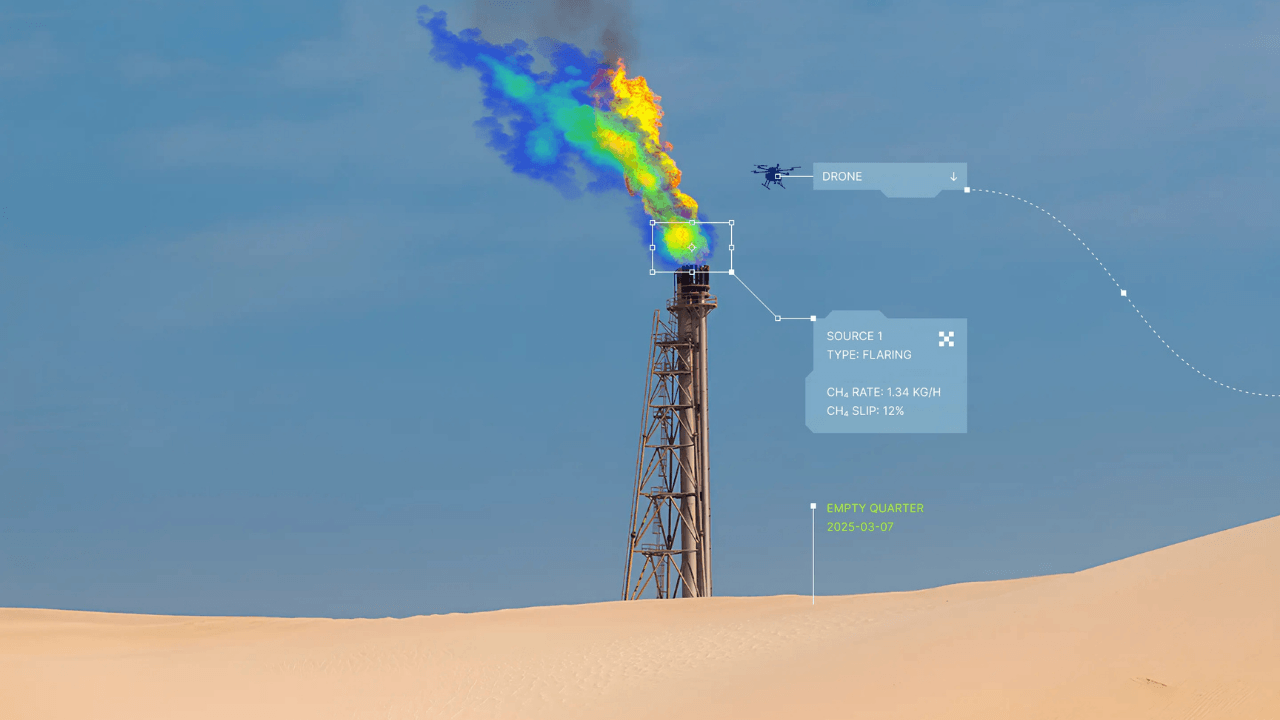
Before launching its satellite, AIRMO is deploying its instruments on drones and aircraft, mounting the sensors underneath specially equipped planes that fly over facilities to detect and measure emissions.
. Stepanova explained that adding sensors to commercial aircraft comes with extensive certification requirements. Instead, AIRMO works with companies that provide aircraft specifically equipped for remote-sensing and monitoring missions.
According to Stepanova, deploying AIRMO’s technology in the field before its satellite launches also provides valuable insights into how customers use the data.
“We see a lot of value in actually going into the field, understanding the environmental conditions, and seeing how our customers receive the data, how they use it, and how they implement these technologies.
It gives us a lot of knowledge that we can use to improve our product.“
Ultimately, the product is the same: methane monitoring. It’s a map showing methane leakages that’s updated regularly. Whether that data comes from satellites or aeroplanes, the product remains the same.
With drones and planes, the company is already validating its technology and conducting monitoring campaigns.
According to Stepanova, deploying AIRMO’s technology in the field also provides valuable insights into how customers use the data. AIRMO has started with customers that are most suitable for satellite monitoring.
For the company, upstream oil and gas is the most interesting market, with a concentration in regions such as the Middle East, Central Asia, and North Africa. But conducting airborne monitoring campaigns in these regions can be logistically challenging.
“You need to figure out the process of getting your instruments into the country. It took us six months to bring a drone into Saudi Arabia, where we've been doing campaigns. It's a long, painful, experimental, and sometimes annoying process,” explained Stepanova.
These logistical challenges are another reason AIRMO sees satellites as central to scaling its monitoring platform. Satellites can provide global, continuous monitoring without requiring equipment to be transported into each country, although they cannot offer the same precision as drones.
The cost of leaking methane
Customers broadly fall into two camps: those motivated by the financial cost of methane leaks and those driven by regulatory compliance and decarbonisation commitments. “Some inspections are done only once a year,” said Stepanova.
“When you deliver the report, and they see how much methane they've lost over the year because they haven't identified those emissions, the motivation changes. It becomes: "Oh my God, that's so much money."
With airborne observations, data is transmitted within the day, with the broader goal of mitigating leaks within a week, though this depends on the facility's location and applicable regulations. There are regulations that require leaks to be mitigated within a certain timeframe, and customers typically respond very quickly.
Satellites should also make it easier for AIRMO to verify whether identified leaks have been repaired and provide ongoing monitoring. Doing the same with airborne campaigns can quickly become expensive, as each follow-up requires another flight over the facility.
Preparing for launch
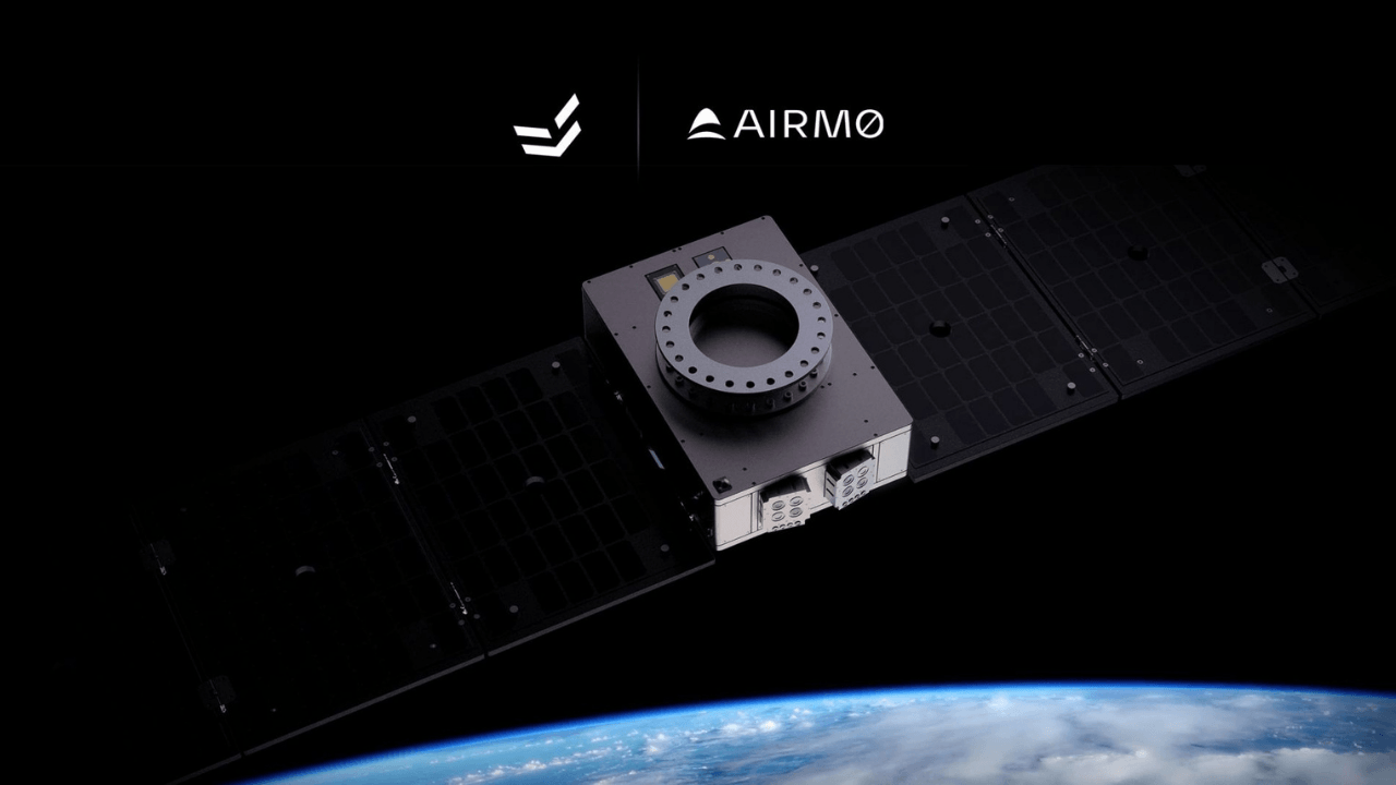
AIRMO is working with partners with a long track record of successful space missions, which provide the satellite platform that will carry its instrument.
According to Stepanova, there's still work to do to match the interfaces and ensure the payload can withstand the temperature swings and vibrations during launch.
"We also need to ensure it can survive and operate for long enough in space.
That’s the work we’re doing at the moment: manufacturing, testing that everything works and can withstand those conditions, and working closely with our partners in preparation for launch.”
AIRMO is aiming to launch its first satellite offering with EnduroSat by the end of 2027.


Would you like to write the first comment?
Login to post comments